Žemaitijos nacionalinis parkas

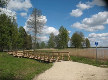
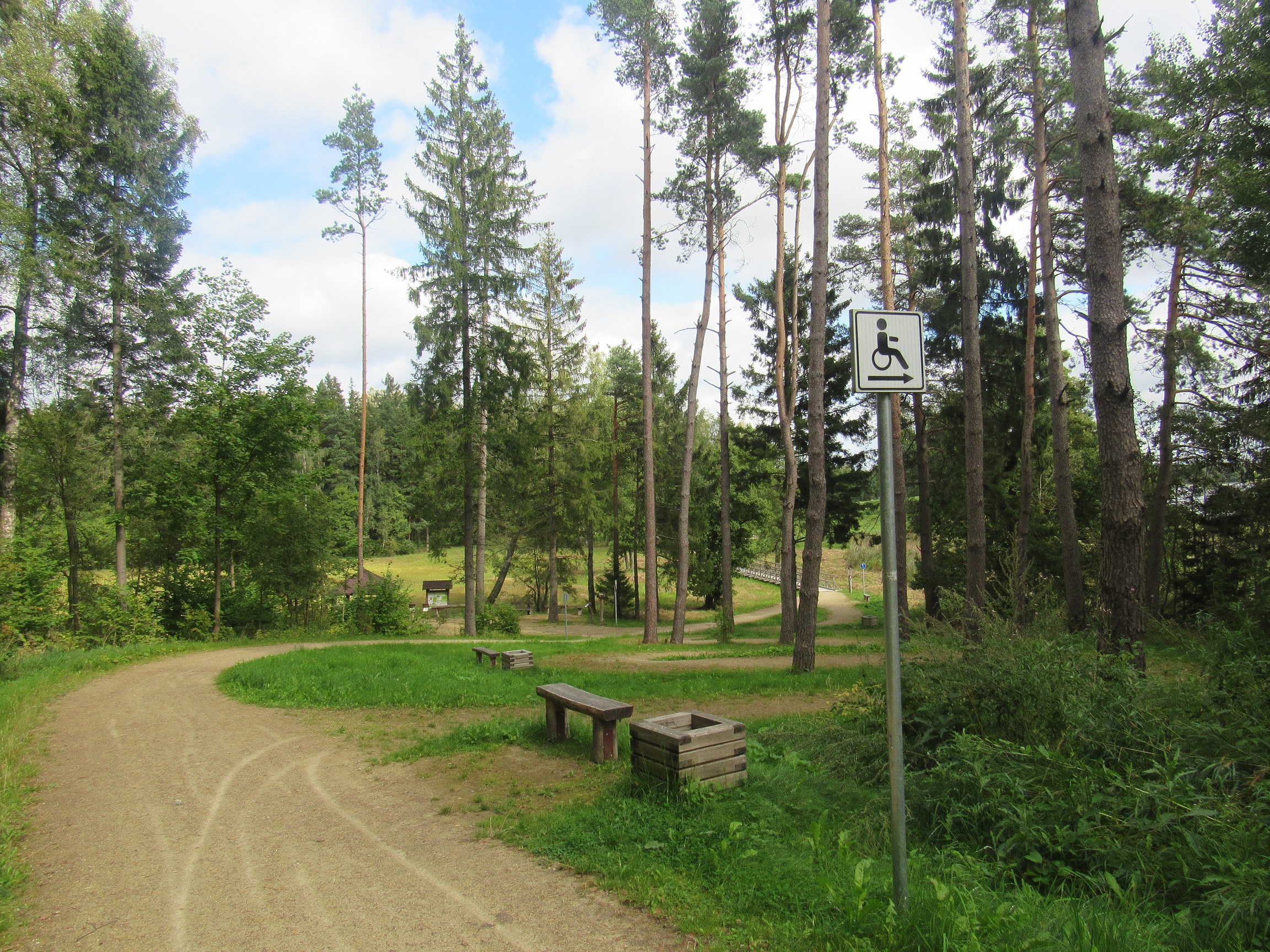
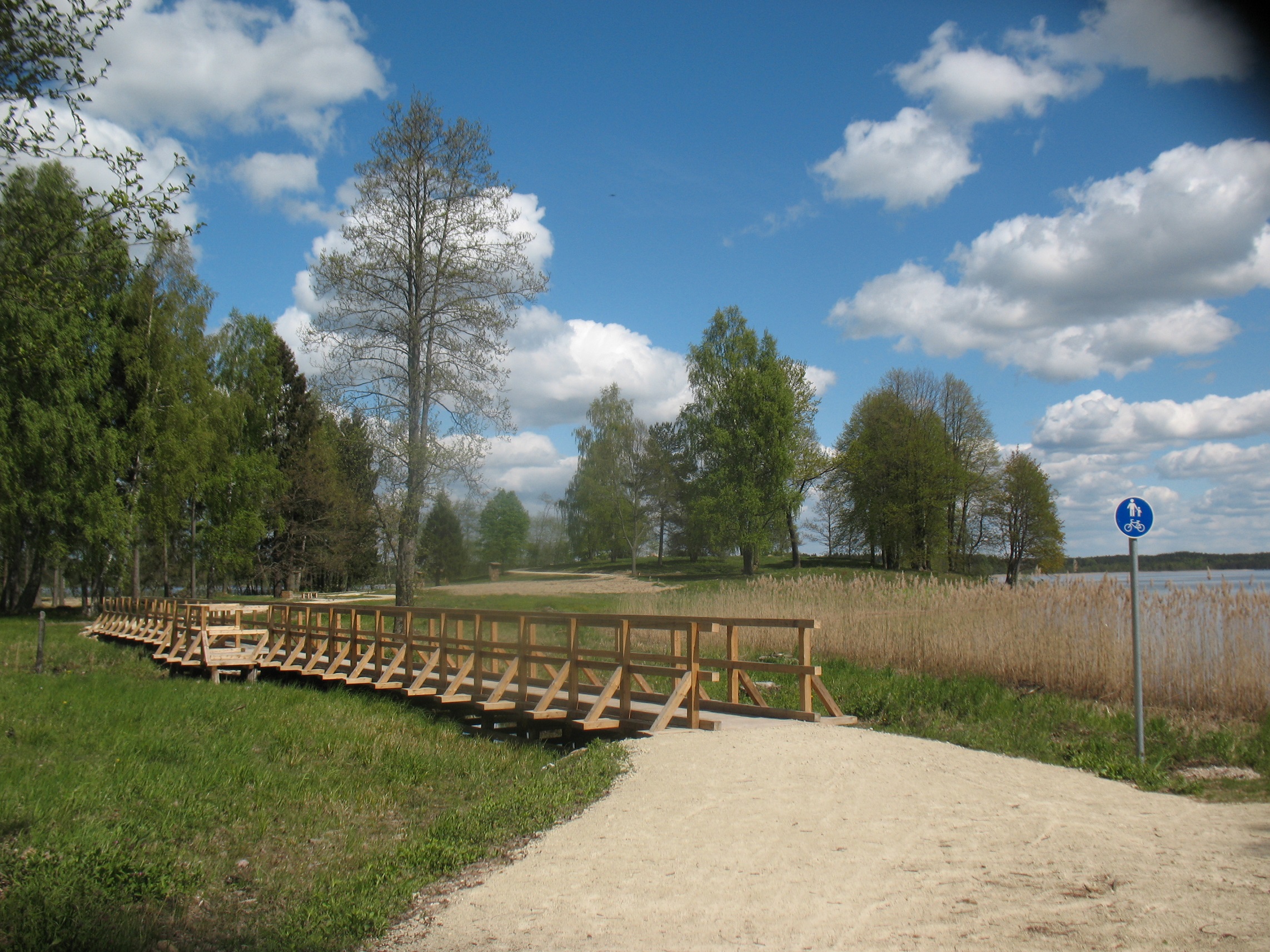
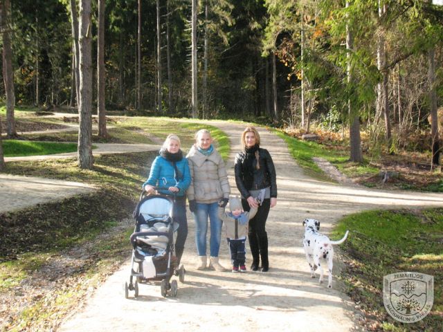
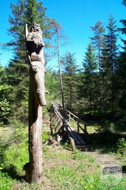
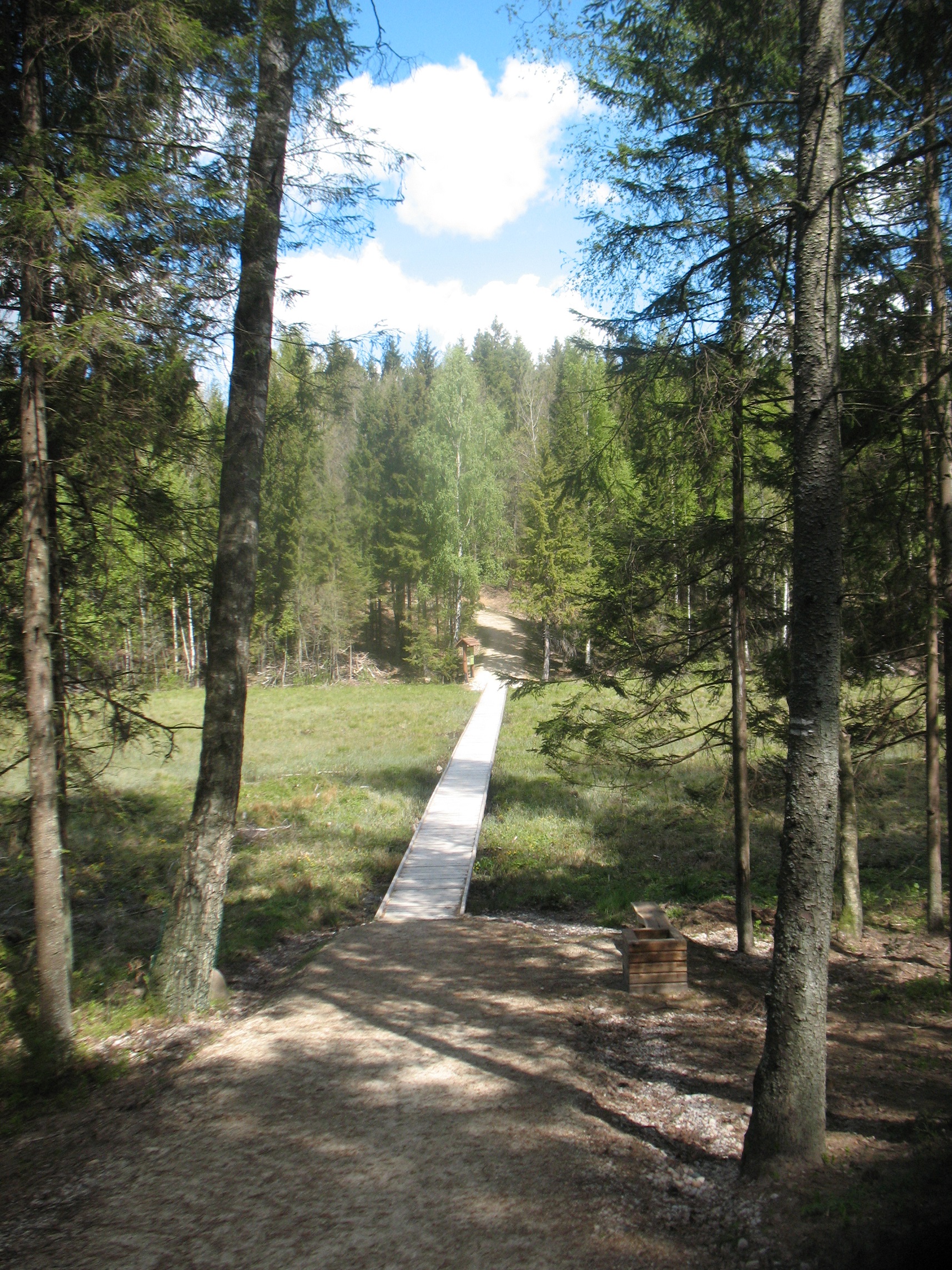
The walking trail, 4.1 km long, with a segment of 1.4 km adapted to meet needs of mobility-impaired persons is located in the Žemaitija National Park, near the town of Plateliai, 1.3 km from the Žemaitija National Park Administration Plateliai Visitor Centre. A segment of the trail (1.8 km) coincides with the Cycling Path around Lake Plateliai. The following are the coordinates of the starting point of the trail: 364652, 6214840 (LKS) or 21.827357, 56.048411 (WGS). The trail of hard-packed-soil paving has way finding signs, and there is a National Park Information Board at the starting point.
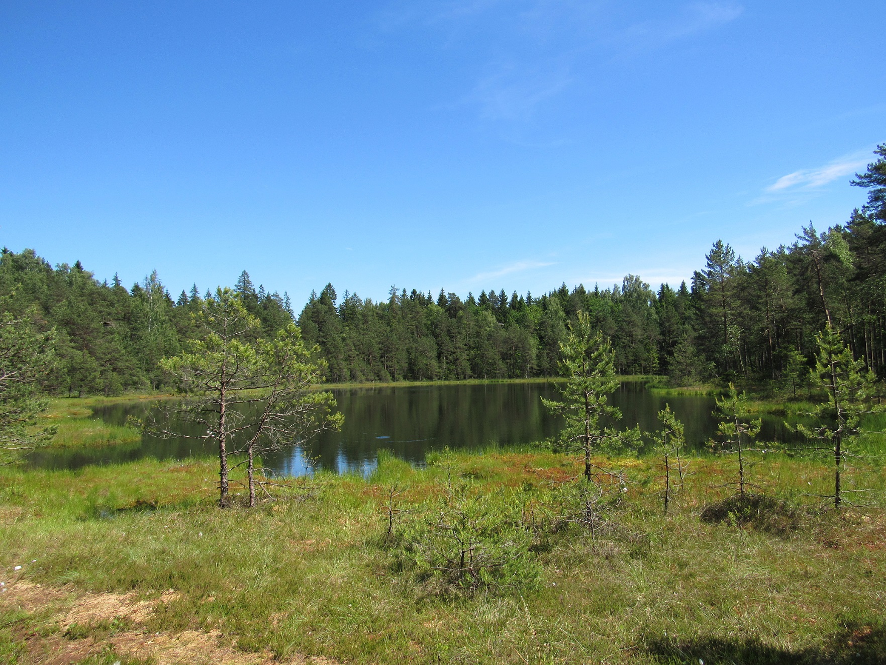
Exclusiveness of Trail Experience: active way to acquaint with nature, Gaudupis bog, lake Piktežeris, shore of lake Plateliai, adapting to different needs of visitors.
Brochure and more information can be found HERE.

Žemaitijos nacionalinio parko direkcija.
Biudžetinė įstaiga. Didžioji g. 10, Plateliai, LT-90420 Plungės raj.
+370 448 49231
+370 448 49337
[email protected]
Zemaitija National Park Directorate
Didžioji str. 10, Plateliai, LT-90420, Plungės dstr., Lithuania
Įmonės kodas: 191440964
PVM mokėtojo kodas: LT914409610, duomenys kaupiami juridinių asmenų registre.
Steigėjas – Valstybinė saugomų teritorijų tarnyba prie Aplinkos ministerijos. Puslapio sukūrimas dalinai finansuotas Europos Sąjungos 2014–2020 m. Interreg V-A Pietų Baltijos bendradarbiavimo per sieną programos lėšomis.
Company code: 191440964
VAT code: LT914409610
The founder is the State Service of Protected Areas under the Ministry of Environment.
Website part-financed by the European Union 2014-2020. Interreg V-A South Baltic Cross Border Cooperation Program.