
Žemaitijos nacionalinis parkas

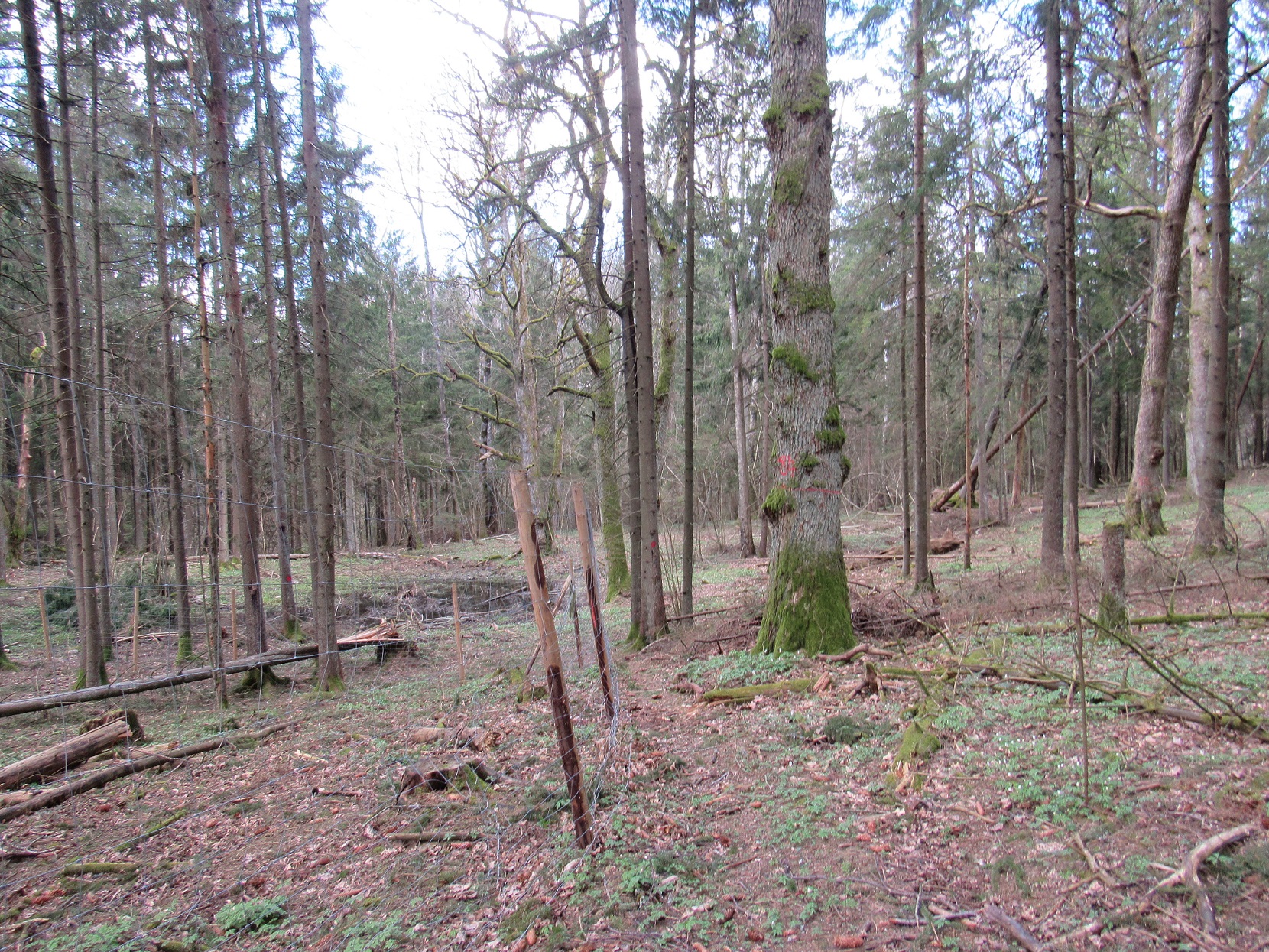
The area of the Liepijų Landscape Reserve is 278,3 ha. It is situated in the western periphery of the plateau massif of Plateliai. The reserve includes Liepijų forest with the Ringupis river rambling its western outskirts. It is surrounded by villages of Medsėdžiai, Kentai, Kadžiai and Pamedinčiai. Arboreous, hilly, loamy and argilaceous landscape is prevalent in the territory of the Liepijų Landscape Reserve. Liepijų forest occupies the most substantial part of the Liepijų landscape Reserve (approx. 87%), meadows, swamps, water ponds occupy approximately 13%. About 75% of all stands developed under natural conditions, and the rest area of a cultivated origin. Nearly all the forests of the Liepijų Landscape Reserve (98,3%) are attributed to the group of ecosystem protection forests. Privately owned land occupies more than half of the territory, 79 privately-owned plots of land are included in the reserve.
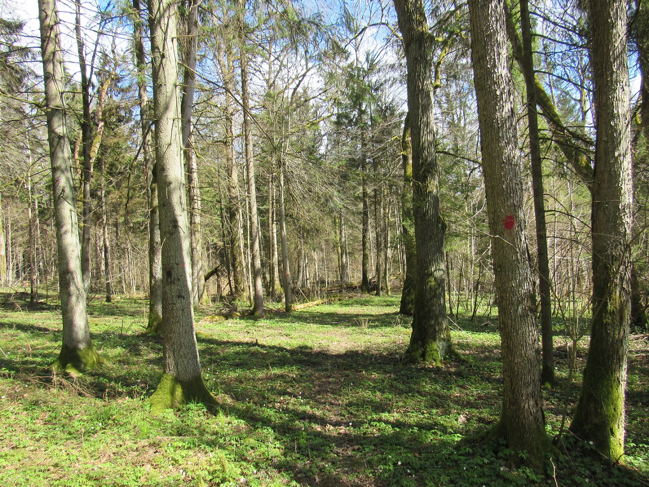
Botanists have established that the Liepijų Landscape Reserve has the largest communities of broadleaf linden-hornbeam forests, which are extremely rare in Zemaitija National Park. The main dominant of the tree canopy is a common oak, with quite an abundant addition of European spruce in some areas.
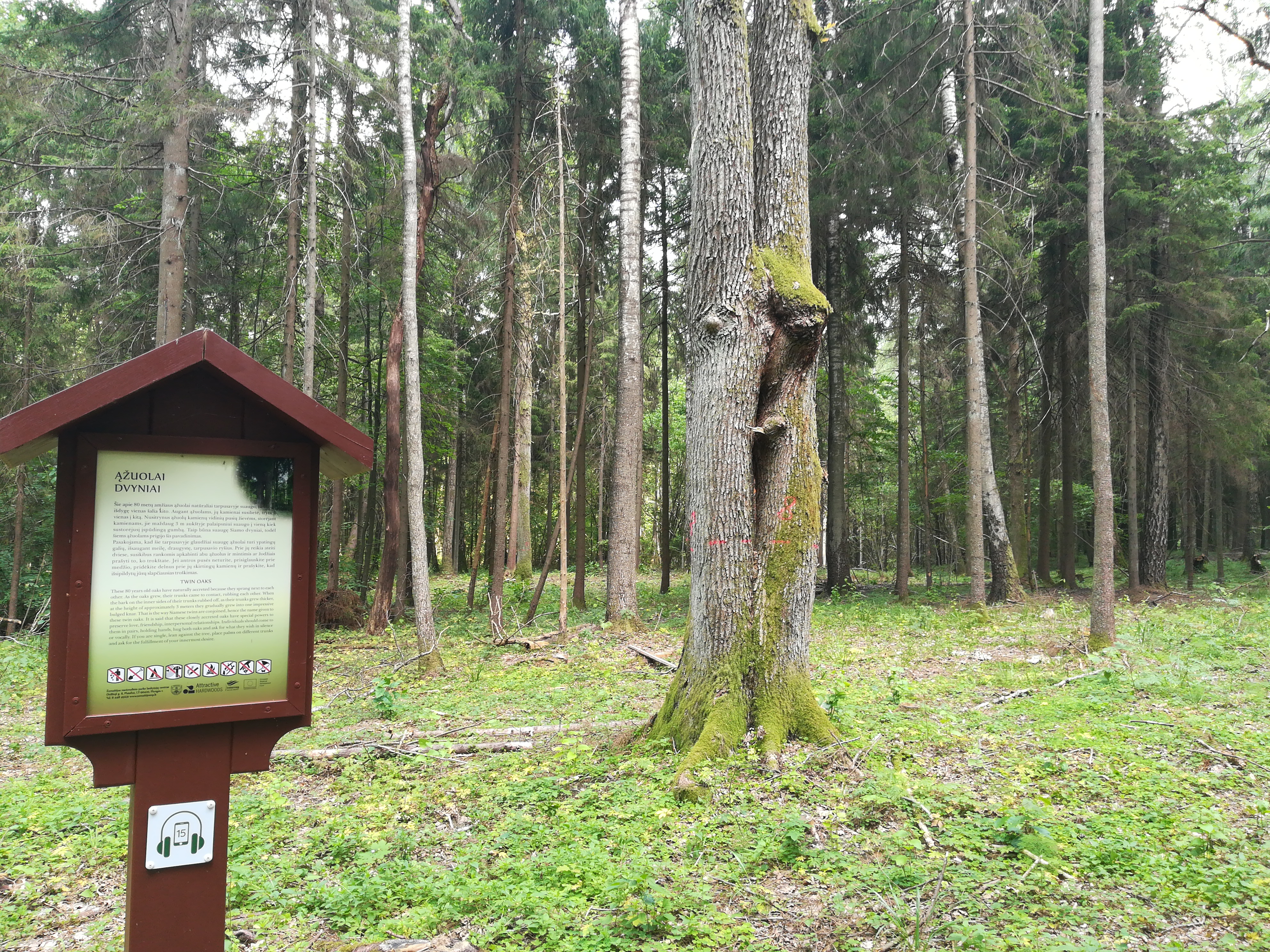
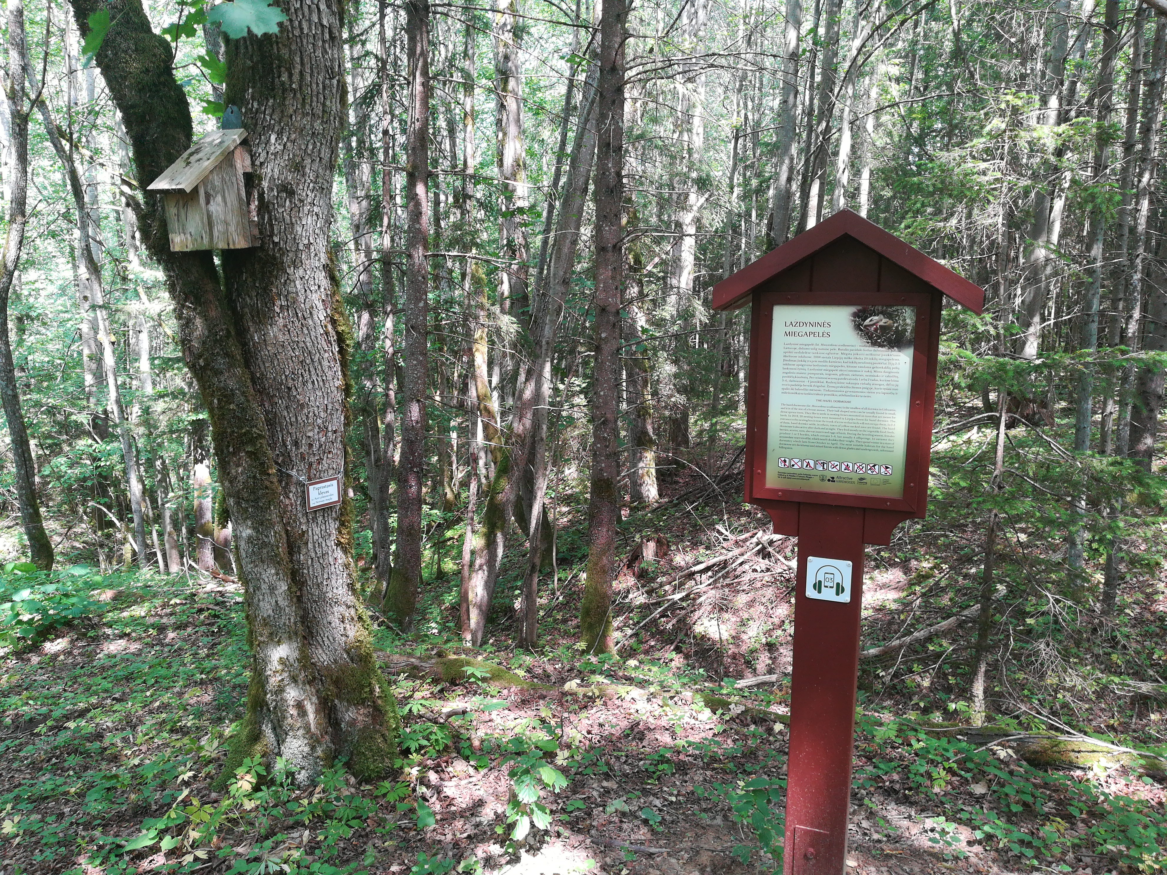
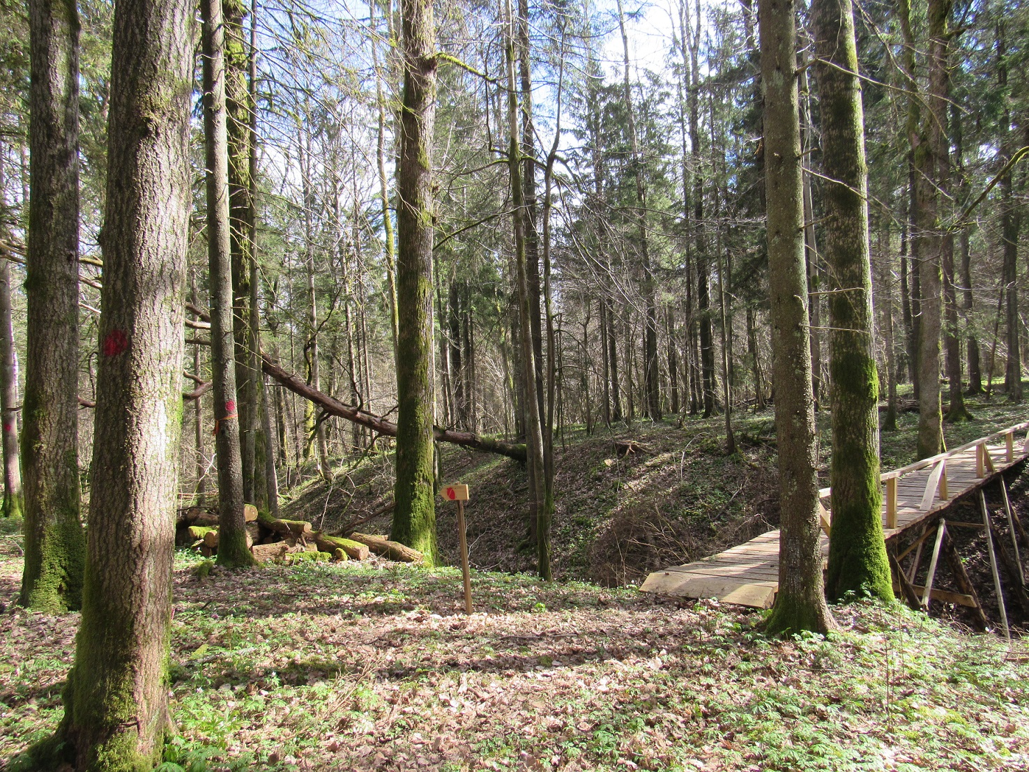
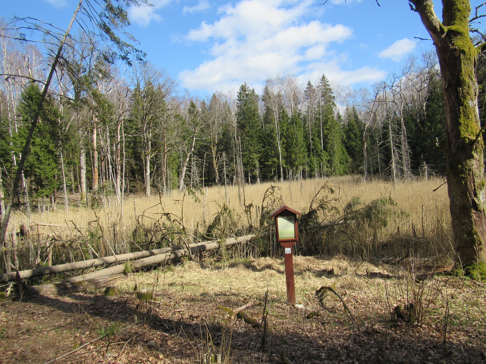
There is 4 km. a hiking trail in the forest. The trail stretches through natural forest, without specially equipped pavement. In its most interesting places, there are billboards telling intriguing facts about the characteristics of the place. Exclusiveness of trail expierence: loamy and argillaceous landscape, meadows, swamps, water ponds.
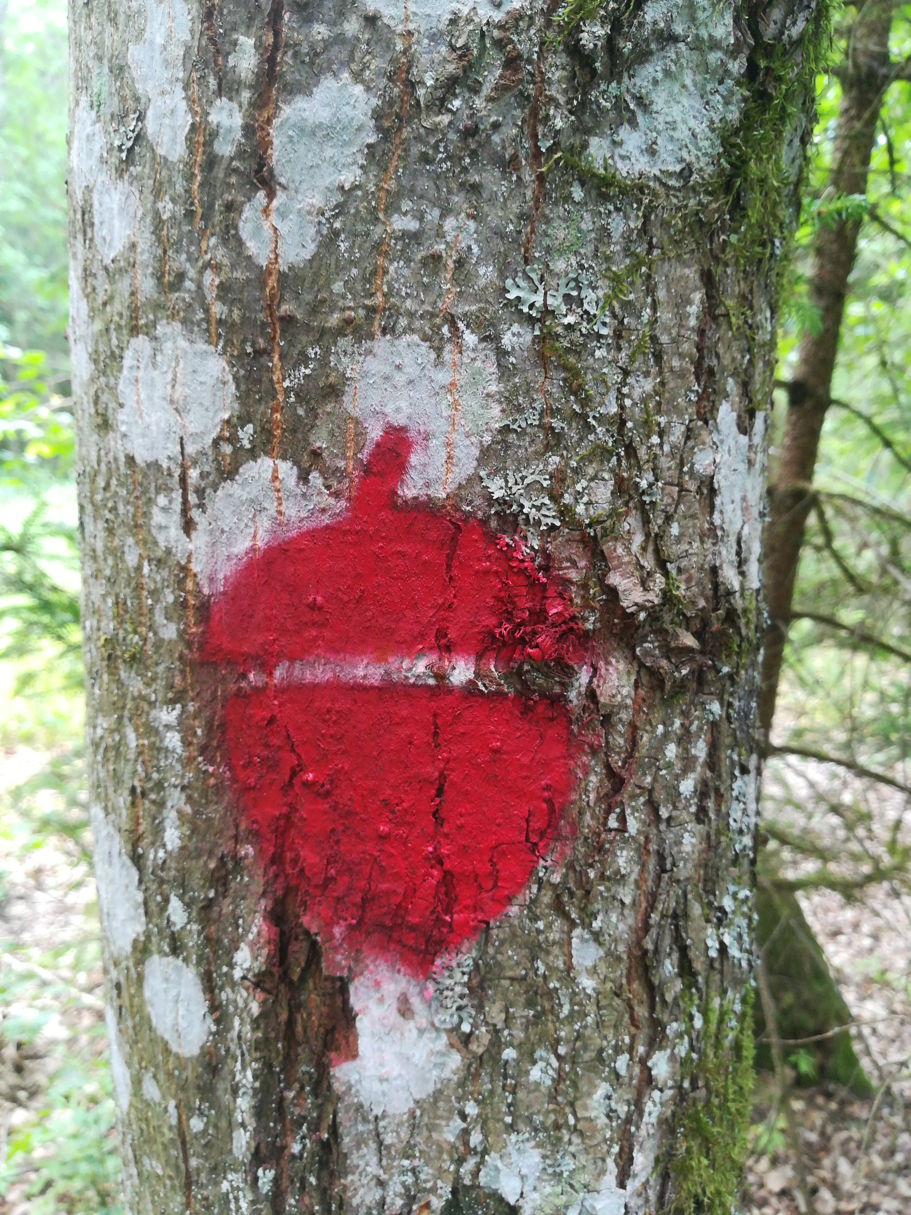
Route marking. The route is marked with red color “acorns” on the trees. They mark the turns of the route and help to keep track of the route.
You can download a mobile app for the trail with route and audio guide. A mobile app (called “Audio Guide of Zemaitija National Park”) you can download for free.
Coordinates: 56.033225, 21.781736 (WGS).
The project is funded by: https://ec.europa.eu/regional_policy/lt/funding/erdf/


Žemaitijos nacionalinio parko direkcija.
Biudžetinė įstaiga. Didžioji g. 10, Plateliai, LT-90420 Plungės raj.
+370 448 49231
+370 448 49337
[email protected]
Zemaitija National Park Directorate
Didžioji str. 10, Plateliai, LT-90420, Plungės dstr., Lithuania
Įmonės kodas: 191440964
PVM mokėtojo kodas: LT914409610, duomenys kaupiami juridinių asmenų registre.
Steigėjas – Valstybinė saugomų teritorijų tarnyba prie Aplinkos ministerijos. Puslapio sukūrimas dalinai finansuotas Europos Sąjungos 2014–2020 m. Interreg V-A Pietų Baltijos bendradarbiavimo per sieną programos lėšomis.
Company code: 191440964
VAT code: LT914409610
The founder is the State Service of Protected Areas under the Ministry of Environment.
Website part-financed by the European Union 2014-2020. Interreg V-A South Baltic Cross Border Cooperation Program.