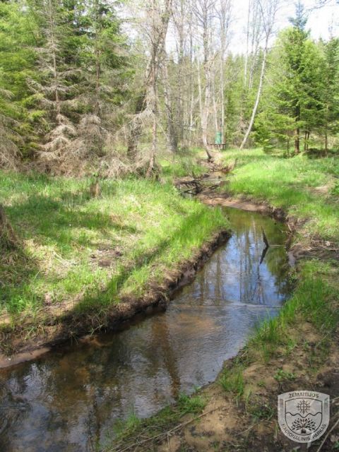
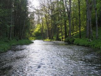
Žemaitija National Park is a part of the Venta, Bartuva and Minija river basins. The latter accounts for a larger part of the national park’s watercourses (streams, ditches, channels, etc.). The density of the hydrographic network is 1.63 km/km². The total length of watercourses in the national park is 356 km. Of these, 98.8 km fall on forty cadastral (with codes, names) rivers and streams of the national park. The largest and longest river in the national park, Babrungas, flows from Lake Plateliai. Having crossed the territory of the national park for about 12.3 km, the river pours its waters into the Minija approximately 47 km further. Only a few hundred meters shorter than Babrungas, the Uošna (11.7 km) flows through the forests and fields of the national park. Part of this river is regulated. The melioration efforts that swept across the country in the past century have irreversibly changed the course of not only the Uošna River, but also the Varduva, Šarnelė, Pagardenis, Šato, Gintelis, Margupis, Notė and many other small streams. Framed in straight ditches, they have lost their original vitality and rapidity. Most of the remaining natural streams flow through forests. The beds of the Uošna, Bartuva, Juodupis, Pietvė, Šilinė, and Blendžiava streams sometimes meander among the trees, look for new paths, bypassing beaver dams, or hide in the vegetation of swampy lowlands.